Written By: Kristen Cockburn, AAg
When completing a Phase I Environmental Site Assessment (ESA) on a property, there are key elements that are required to be included; one of which is a review of historical aerial photos of the property and the surrounding area.
This is one of my favorite parts of completing a Phase I ESA, as aerial photos can provide visual evidence of what was present on and around the property at a given time. Aerial photos through time can show both large scale regional changes and with the right photo scale and clarity, small scale changes on the property or on surrounding properties. Aerial photo interpretation is a skill that takes time to develop by looking at lots of different aerial photos and help from a good mentor.
When completing a Phase I ESA, we borrow copies of aerial photos from the UBC Geographic Information Centre (GIC), based at UBC in Vancouver. Most of the air photos within the GIC collection were either taken by or commissioned by the government of BC. We send the GIC the location of the property we are studying, and they send back select photos from their library that show the property and surrounding area. Usually the earliest photos are from the 1930’s, with the most recent from 2007. Based on flight line coverage and when photos were taken, we usually are sent a set of photos with five to ten years between stereo pairs. For visual imagery of the Site and surrounding areas from 2007 to present-day, we rely on Google Earth, Google Street View and Municipal Web Mapping Applications.
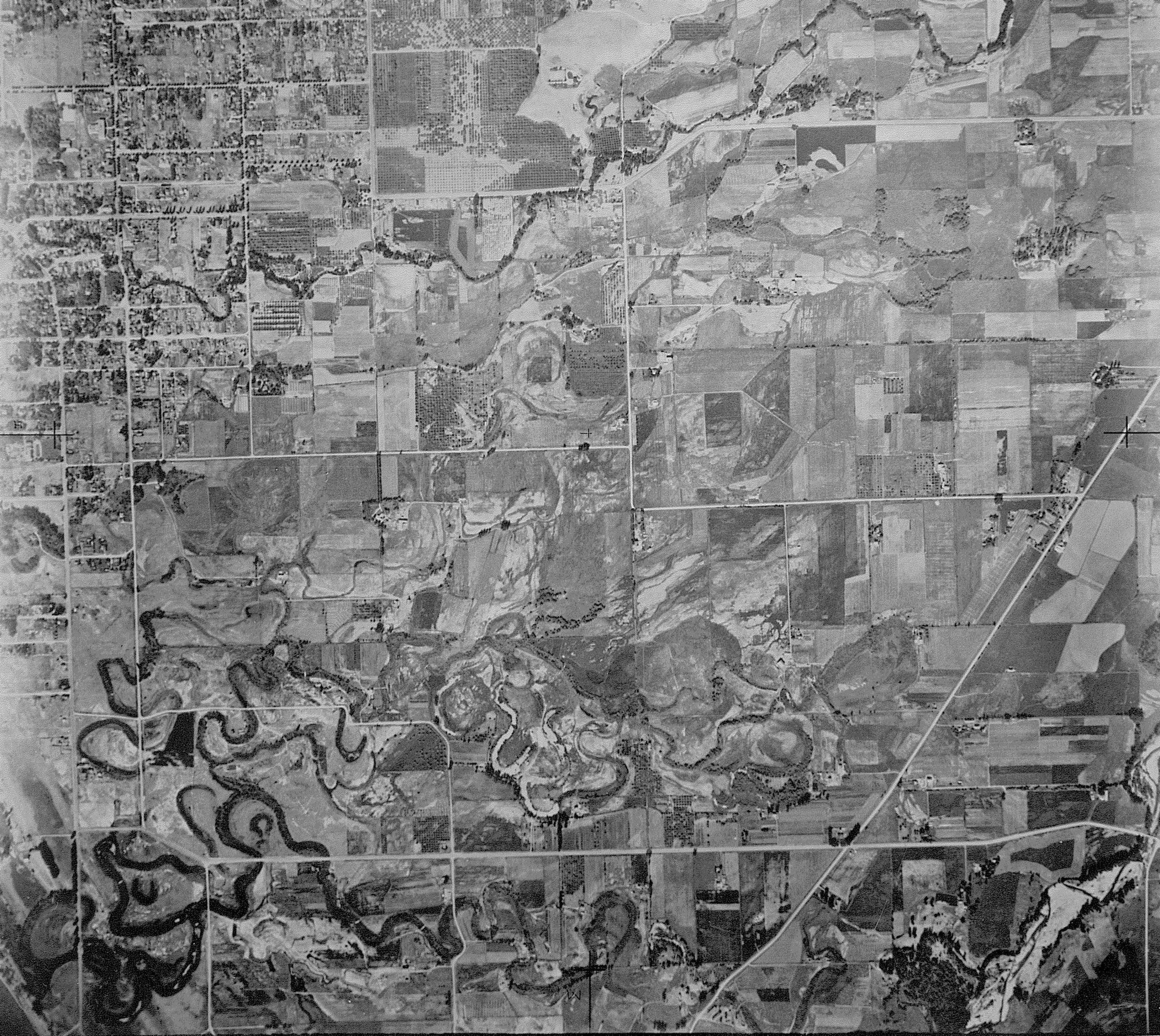
In assessing a property, I start with the earliest aerial photo and work towards the present. Depending on which community or area of a community I am working in, the area may be undeveloped in the earliest photos. These early aerial photos can be a wealth of information on the geologic and biological processes that shaped the area. We can see natural river and creek formations, former channels, oxbow lakes and depressions, areas of natural erosion and deposition and floodplains. For example, in early aerial photos of Kelowna BC, the lower Mission area is dominated by former fluvial (river or creek) features associated with Mission Creek and the meandering of the creek over the Mission flood plain. Historically these early eroded features such as former creek beds and oxbows have been filled in over the years to provide flat land for agriculture and development. Photos showing fluvial features also give us an idea as to what the subsurface geology of the area may be, and we can infer how potential contamination may move through this geology.
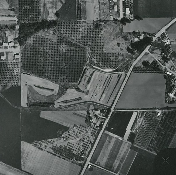
Over time areas of land clearance expand with the growth of communities and associated agriculture. Orchards in the Okanagan are evident based on the neat rows of trees, looking like a perfectly polka-dotted field. With increasing spread and development, we start to see more commercial properties including stores, gas stations, car dealerships and even drive-in movie theaters. Recognizing these land uses can sometimes be based on very subtle details, such as shadows, and are confirmed with additional records where possible.
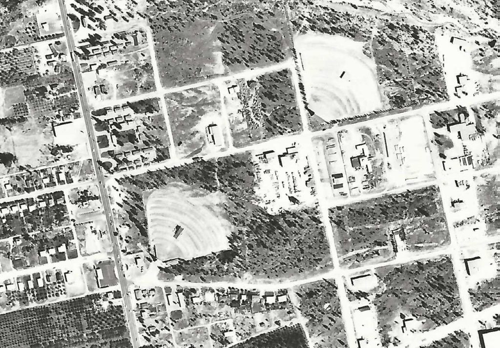
Quite often I find evidence of past industrial uses that are no longer present in other records. Based on comparison of static landforms in an area, we can determine where historical facilities were located. For example, in one of our assessments, the landowner was told when he bought the property that a former sawmill was located to the north of his land. Based on historical photos we were able to visually determine that portions of the mill were historically present on his property, rather than adjacent to the north.
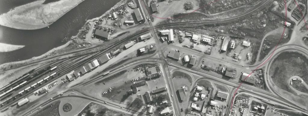
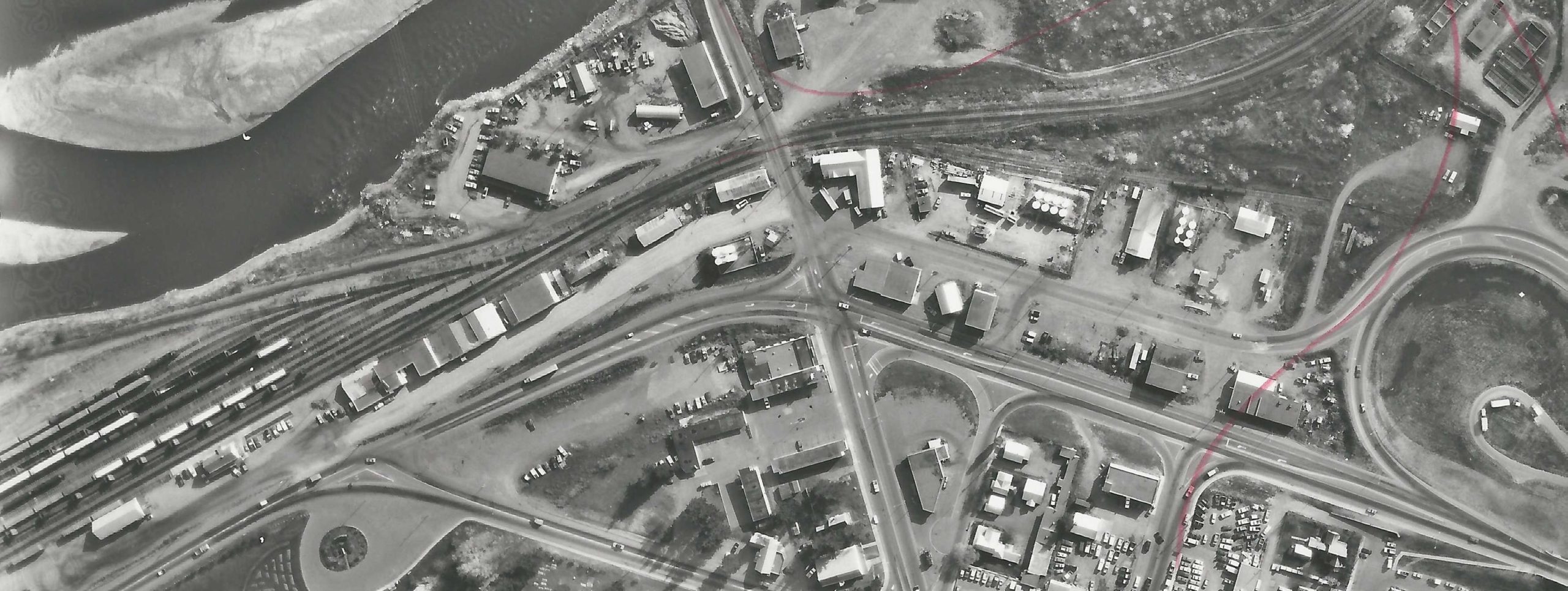
A common feature are historical rail lines that criss-crossed the province moving people and goods. Many industrial facilities were present along rail lines as that was the most efficient way to move raw materials and fuels. Common industrial activities are seen along rail lines including sawmills, bulk fuel facilities, warehousing and manufacturing, and mining and smelting activities. Some properties even had their own rail spur for easy loading and transport. Both the rail lines themselves as well as industries associated with them have the potential to be sources of contamination and may indicate a need for further assessment.
Aerial photos are just one of the sources we use to piece together the history of a property and surrounding area. They give us a window into the past to help us identify potential risks on and nearby a property, showing things that are not documented in other records. If you are looking to purchase or sell a commercial or industrial property and either require an Environmental Assessment for financing or insurance purposes, or just want to complete your due diligence, please feel free to give us a call. We would be happy to help!